Municipal GIS

|
April 25, 2008
|
Utilizing internet mapping technology, GEOMA has developed and hosts a web-based GIS mapping application for Municipalities that features many time-saving tools and a user-friendly interface which allows Municipal staff to access GIS data including municipal infrastructure, parcel fabric, natural features, assessment roll data and much more.
This GIS solution eliminates the need for a Municipality to purchase and maintain costly GIS software and hardware, as well as the need to employ a GIS technician.
Here are some of the highlights of a Municipal GIS system and how it could benefit your Municipality:
- Allows managers to quickly search the Municipal assessment base through a link between spatial assessment data and MPAC tables downloaded quarterly.
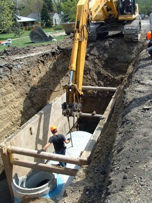
- Public works managers can use the GIS WebView to display information about the water and sewer systems within the municipality at the click of a button.
- Attributes such as pipe material, diameter, or date of service may be queried to plan for preventative maintenance or replacement of critical infrastructure when it is necessary. The database is compatible with other PSAB 3150 compliant software.
- Municipal staff can prepare localized information packages for potential zoning or bylaw changes quickly by utilizing the GIS to determine which nearby residents may be affected.
- User friendly tools and search tasks allow users to quickly locate and display features and information required by various municipal departments.
- Controlled access of the data is supplied to Municipal staff.
- Users can create maps and tables to be printed on a local printer.
GEOMA welcomes the opportunity to discuss your Municipality’s GIS needs or answer any questions.
Contact us at info@geoma.ca


